Explore Walberswick Brought to you by Blythweb Ltd (now part of MHCreations)

Walberswick Church Tower Panorama

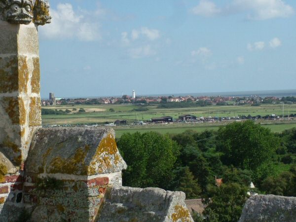
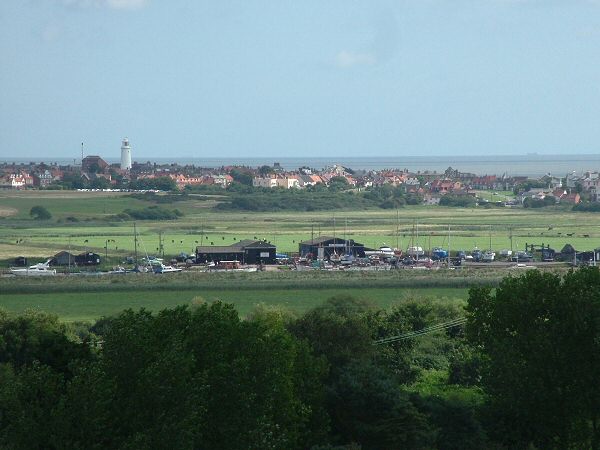
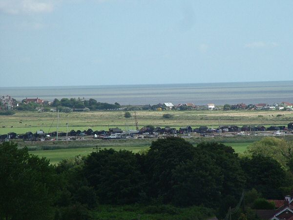
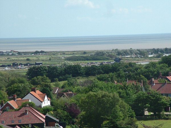
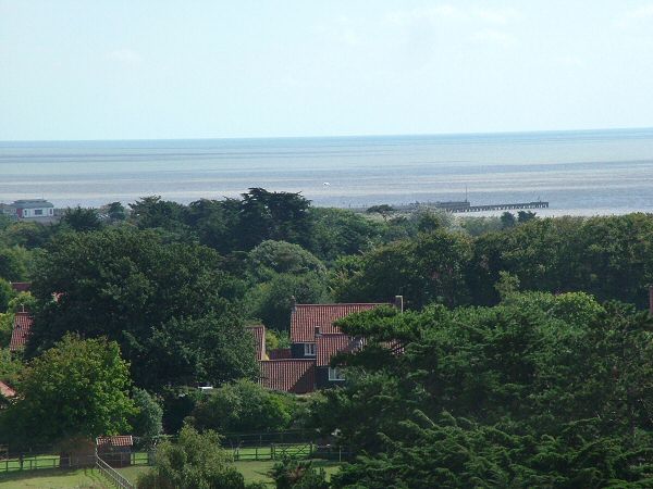
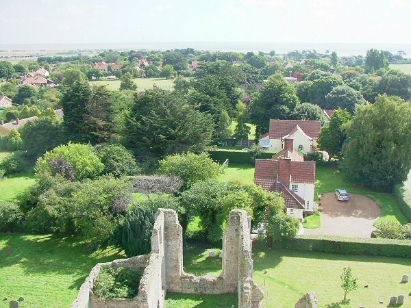
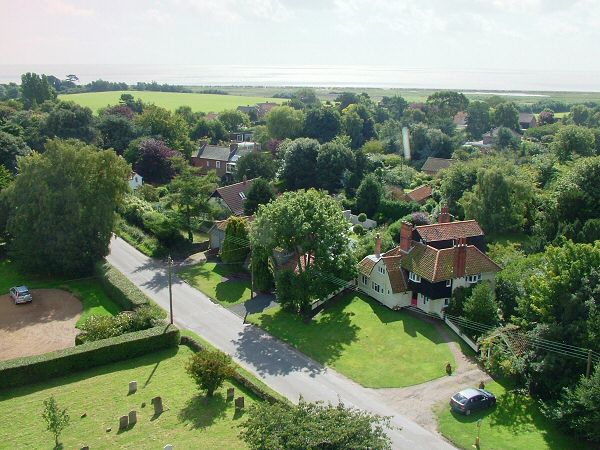
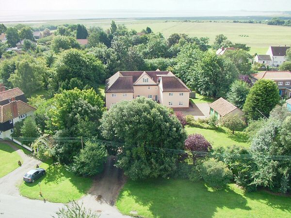
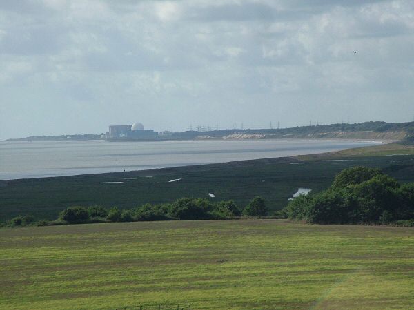
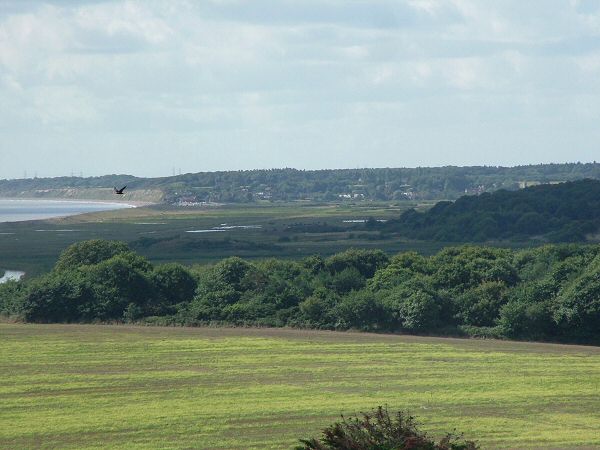
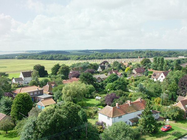
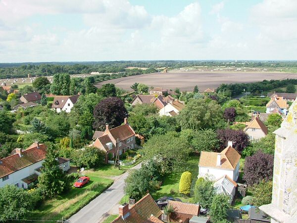
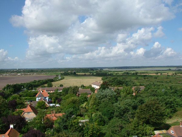
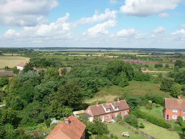
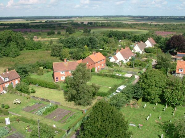
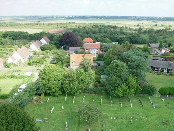
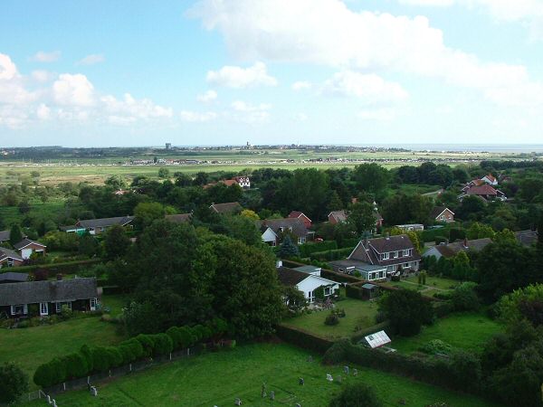
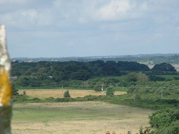
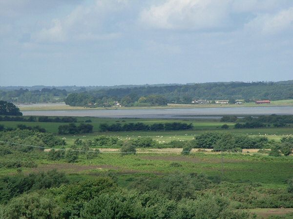
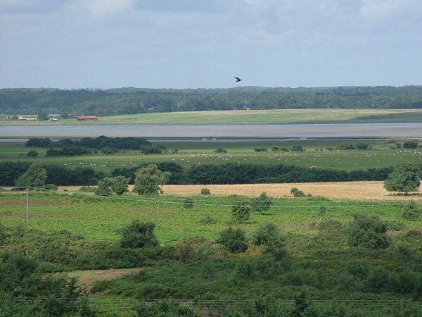
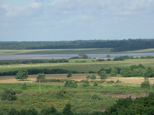
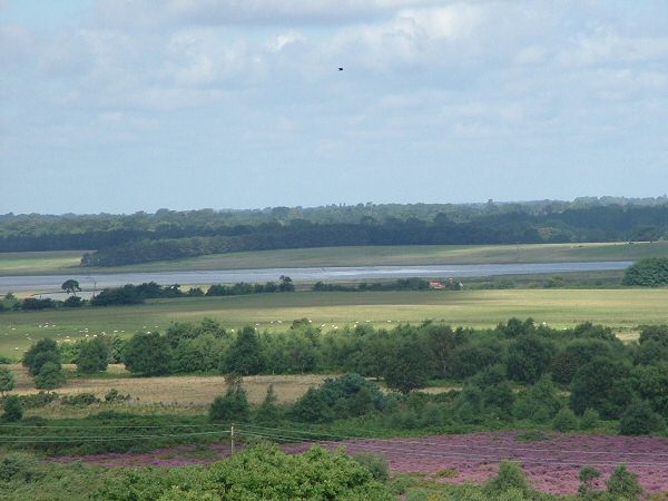
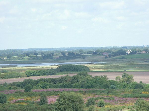
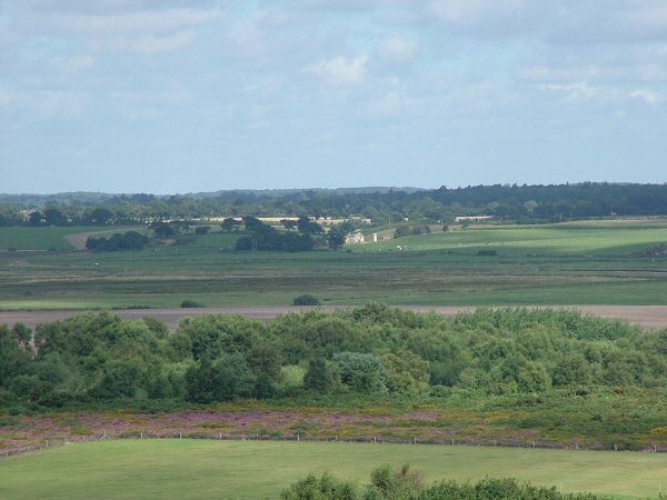
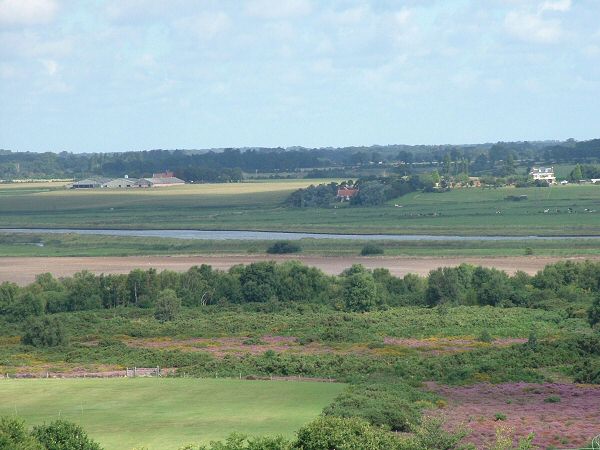
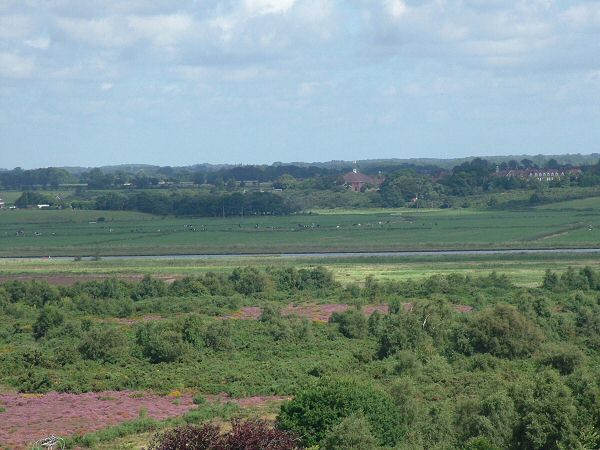
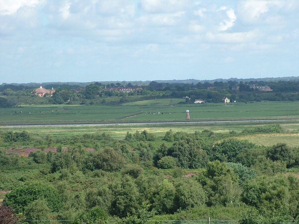
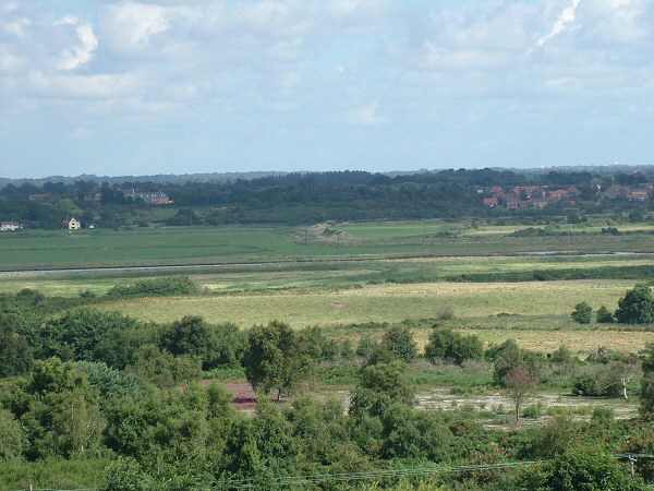
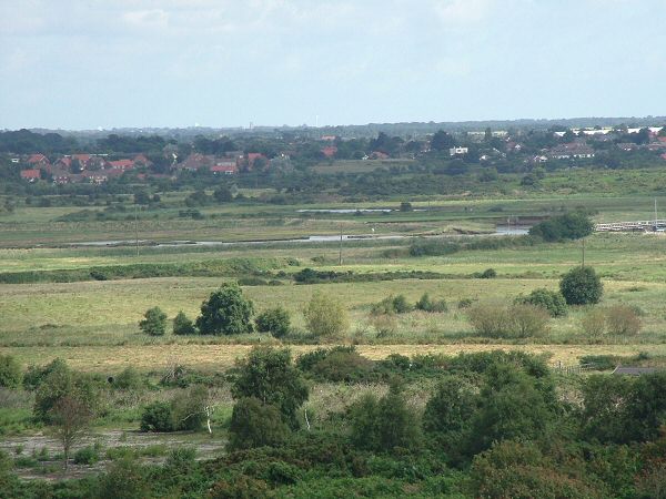
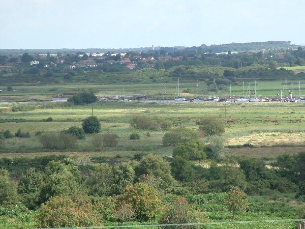
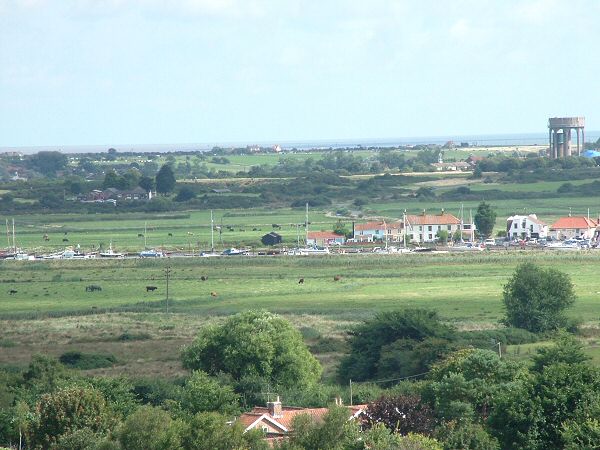
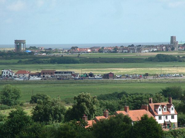
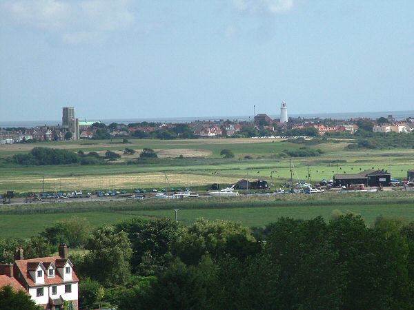
A rooftop view across Walberswick and beyond

Here you can see thumbnails for all the photographs from the Walberswick Panorama.

Click on any thumbnail to show the full picture, and clicking on the left/right edges of the picture (or pressing the left/right arrow keys) will go to the next picture, so you will be able to watch a full slideshow as you turn around the church tower!

1: Looking North East across Southwold Harbour toward the town of Southwold. On the left is St Edmunds Church with the Catholic Church, on the Common, just in front. The famous lighthouse is clearly visible too. 
2: Here is a clearer view of the Harbour and the town of Southwold. To the right of the picture you can make out South Green in Southwold.
3: We are now looking just north of east across the harbour with all its higgedly fishermans huts toward Ferry Road that links Southwold with the harbour.
4: At last some views of Walberswick itself in the forground! Beyond is the lower part of Southwold Harbour and Southwold Caravan Site.
5: This view is rather obscured by trees but we can just make out the harbour entrance and on the far left the distinctive building that houses the restored lifeboat the Alfred Corry.
6: Pulling back for a wide view but looking in the same direction we can see the ruins of the old church. The existing church in Walberswick is just a corner of the old church!7: Staying with the wide view but now looking  a touch south of East we can see the northern end of the marshes and reedbeds that stretch from Walberswick to Dunwich.8: This imposing building is The Martins which is now several spacious flats.9: Zooming in from the last view we can clearly see the sweep of the bay between Walberswick and Thorpeness. The ugly building ruining this view is Sizewell Power Station. In the middle of the picture are the extensive marshes which are now a nature reserve with a wealth of birds and wildlife. You also clearly see Dunwich Cliffs and in the distance on the far left is Thorpeness.10: Looking due South we can clearly see the village which is all that remains of the ancient city of Dunwich most of which has been swept away by the sea!11: Taking a wider view in teh same direct we can see the house of Walberswick in Lodge Lane and Stock Lane. The dots in the middle distances are the pig arks of the free range pig farm that is a common sight around here. Look out for the piglets!12: Looking inland now, just south of west. The trees in the distance are the Forest Enterprise plantation of Dunwich Forest and yes - more pigs too!13: There is just one road linking Walberswick with the reast of the world and this is heading toward Blythburgh. This view is due west. You can make out the River Blyth on the right in the distance (more of this in detail in the later photos!).14: Looking across Walberswick Common past the houses of Church Lane and Adam Close. Much of Walberswick Common is nature reserve and managed by Suffolk Wildlife Trust ot maintain the open heathland once typical of this whole area (The Sandlings were open heathy commonland stretching most of the way from Walberswick to Ipswich).15: Looking along the length of Church Lane, across the Common toward the River Blyth and Reydon Marshes in the distance.16: Now looking due North along Church Lane toward Reydon, just visible on the left in the distance. Walberswick Common is stil there in the middle distance with teh River Blyth beyond.17: This view bring us back to Southwold. Looking North East across Walberswick with a wide angle view taking alomst the whole length of Southwold Harbour and Southwold Town in the distance. Stay with us for a more detailed look at the Blyth Valley from Bulcamp to Southwold in the next 16 views.18: This is the first view of a detailed swepp along the course of the lower Blyth Valley. Here we are looking East toward Blythburgh and you can juts see Blythburgh Church Tower peeking above the trees on the far left. The houses beyond are in Wenhaston some 2 miles further away  !19: text goes here20: text goes here21: text goes here22: text goes here23: text goes here24: text goes here25: text goes here26: text goes here27: text goes here28: text goes here29: text goes here30: text goes here31: text goes here32: text goes here33: text goes here